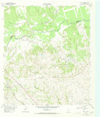
1959 Map of Gay Hill
USGS Topo · Published 1973About this map
The winding course of Yegua Creek forms the boundary between Burleson and Washington Counties, anchoring a rural landscape defined by German-American settlement patterns and early oil exploration. The settlement of Gay Hill and the nearby Old Gay Hill Ch suggest a community with deep roots, further evidenced by numerous family and congregational landmarks like Oak Rest Cem and Frieden Ch. The Gulf Colorado and Santa Fe railroad cuts through the western portion of the map, providing a vital link for the agricultural and industrial interests of the mid-20th century.
Find a feature on this map
31 named features on this map. Tap any name to fly to it.
Don’t see what you’re looking for? This feature index may not catch every label — zoom into the map to look around manually.
Map Details
Editions of this 1959 Gay Hill Map
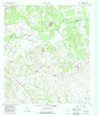
Other maps of this area

1914 · Gay Hill
USGS Topo · 1:62,500

1930 · Brenham
USGS Topo · 1:62,500

1954 · Austin
USGS Topo · 1:250,000

1956 · Brenham
USGS Topo · 1:62,500

1956 · Somerville
USGS Topo · 1:62,500

1958 · Burton
USGS Topo · 1:24,000

1959 · Gay Hill
USGS Topo · 1:24,000

1959 · Clay
USGS Topo · 1:24,000

1959 · Somerville
USGS Topo · 1:24,000

1959 · Independence
USGS Topo · 1:24,000