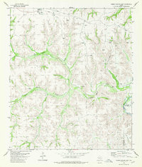
1980 Map of Geddis Canyon East
USGS Topo · Published 1980About this map
Terrell Station sits at the northern edge of this landscape, serving as a focal point for activity along the railway corridor in the late 1970s. The terrain is defined by the significant drainage of Geddis Canyon and South Geddis Canyon, which cut through the limestone plateau toward the eastern boundary marked by the Pecos River. The distribution of numerous Gas Well sites and a prominent Pipeline indicates a region deeply integrated into the energy infrastructure of the Trans-Pecos. Localized water sources, essential for ranching and surveying in this arid environment, are identified by name at Johnson Seep and Packingham Spring. The map also captures the administrative division between Terrell Co and Val Verde Co, following the rugged path of the river canyon.
Find a feature on this map
15 named features on this map. Tap any name to fly to it.
Don’t see what you’re looking for? This feature index may not catch every label — zoom into the map to look around manually.
Map Details
Editions of this 1980 Geddis Canyon East Map
This is the sole edition of this map. No revisions or reprints were ever made.
Other maps of this area

1954 · Sonora
USGS Topo · 1:250,000

1958 · Sonora
USGS Topo · 1:250,000

1973 · Post Canyon
USGS Topo · 1:24,000
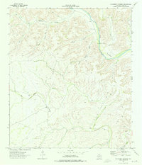
1973 · Hackberry Crossing
USGS Topo · 1:24,000
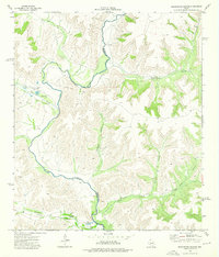
1973 · Sixshooter Canyon
USGS Topo · 1:24,000
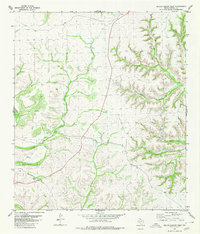
1980 · Geddis Canyon West
USGS Topo · 1:24,000
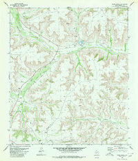
1980 · Oasis Ranch
USGS Topo · 1:24,000
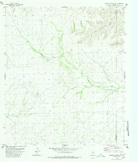
1980 · Meyers Canyon NE
USGS Topo · 1:24,000
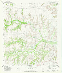
1980 · Geddis Canyon NW
USGS Topo · 1:24,000
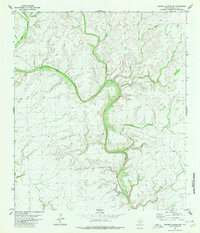
1980 · Meyers Canyon NW
USGS Topo · 1:24,000