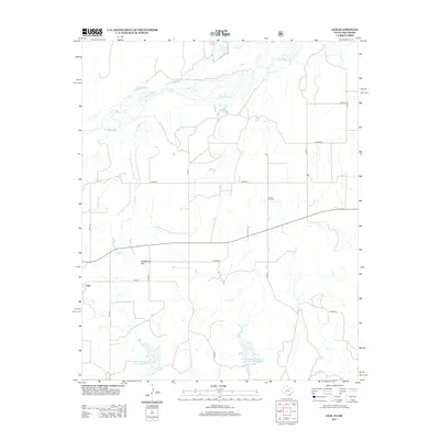
2012 Map of Gem
USGS Topo · Published 2012About this map
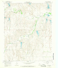
Gem sits in the Texas Panhandle as the primary settlement in this 2012 topographic study, located within the rolling breaks south of the Canadian River. The landscape is defined by the deep incisions of Hay Cr and Spring Cr, which drain toward the river through a network of dry draws and mesas. Water management is a visible priority across this arid terrain, evidenced by the Soil Conservation Service Site 29 Reservoir and Soil Conservation Service Site 30 Reservoir to the south. Local landmarks like Rattlesnake Hill and the Prairie Dell Cem provide specific points of reference for genealogists and local historians tracing the heritage of Hemphill County. In the northern reaches, Kritzer Lake and Timber Lakes offer unique water features in an area otherwise dominated by rangeland and the braided channels of the river valley.
Find a feature on this map
24 named features on this map. Tap any name to fly to it.
Don’t see what you’re looking for? This feature index may not catch every label — zoom into the map to look around manually.
Map Details
Editions of this 2012 Gem Map
This is the sole edition of this map. No revisions or reprints were ever made.
Other maps of this area
1954 · Amarillo
USGS Topo · 1:250,000

1955 · Clinton
USGS Topo · 1:250,000

1957 · Clinton
USGS Topo · 1:250,000
1958 · Amarillo
USGS Topo · 1:250,000
1961 · Reydon
USGS Topo · 1:62,500
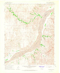
1966 · Antelope Hills
USGS Topo · 1:24,000
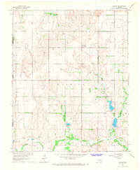
1966 · Durham
USGS Topo · 1:24,000
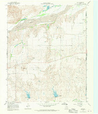
1967 · Gem
USGS Topo · 1:24,000
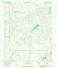
1967 · Hackberry Creek
USGS Topo · 1:24,000
1967 · Lake June
USGS Topo · 1:24,000