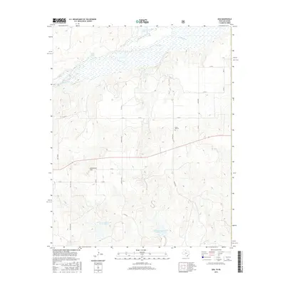
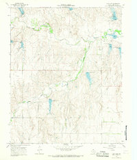
2016 Map of Gem
USGS Topo · Published 2016About this map
The Canadian River cuts through the northern reaches of this Hemphill County landscape, feeding a wetland-rich corridor where Kritzer Lake, Big Lake, and Timber Lakes punctuate the riverbanks. This 2016 survey illustrates the ranching and water management character of the Texas Panhandle, dominated by established properties such as Bowers Ranch and the lands of D Cook. The terrain transitions from the river valley southward toward the prominence of Rattlesnake Hill, marked by a network of rural roads including Prairie Dell and Ranch Rd 2654.
Find a feature on this map
26 named features on this map. Tap any name to fly to it.
Don’t see what you’re looking for? This feature index may not catch every label — zoom into the map to look around manually.
Map Details
Editions of this 2016 Gem Map
This is the sole edition of this map. No revisions or reprints were ever made.
Other maps of this area
1954 · Amarillo
USGS Topo · 1:250,000

1955 · Clinton
USGS Topo · 1:250,000

1957 · Clinton
USGS Topo · 1:250,000
1958 · Amarillo
USGS Topo · 1:250,000
1961 · Reydon
USGS Topo · 1:62,500
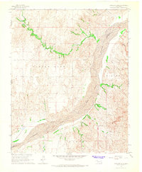
1966 · Antelope Hills
USGS Topo · 1:24,000
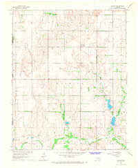
1966 · Durham
USGS Topo · 1:24,000
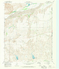
1967 · Gem
USGS Topo · 1:24,000
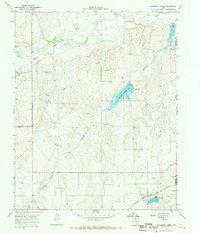
1967 · Hackberry Creek
USGS Topo · 1:24,000
1967 · Lake June
USGS Topo · 1:24,000