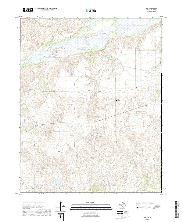
2022 Map of Gem
USGS Topo · Published 2022About this map
The Canadian River meanders across the northern portion of this Texas Panhandle landscape, shaping a wide valley defined by wetlands and seasonal drainages. Modern land use in this part of Hemphill Co is characterized by large agricultural holdings and rural infrastructure, including Bowers Ranch and the family-named properties of D Cook and R Morey. The terrain transitions from the river bottomlands up toward the high plains, marked by landmarks such as Rattlesnake Hill and the broad expanse of Prairie Dell.
Find a feature on this map
27 named features on this map. Tap any name to fly to it.
Don’t see what you’re looking for? This feature index may not catch every label — zoom into the map to look around manually.
Map Details
Editions of this 2022 Gem Map
This is the sole edition of this map. No revisions or reprints were ever made.
Other maps of this area

1954 · Amarillo
USGS Topo · 1:250,000

1955 · Clinton
USGS Topo · 1:250,000

1957 · Clinton
USGS Topo · 1:250,000

1958 · Amarillo
USGS Topo · 1:250,000

1961 · Reydon
USGS Topo · 1:62,500

1966 · Antelope Hills
USGS Topo · 1:24,000

1966 · Durham
USGS Topo · 1:24,000

1967 · Gem
USGS Topo · 1:24,000

1967 · Hackberry Creek
USGS Topo · 1:24,000

1967 · Lake June
USGS Topo · 1:24,000