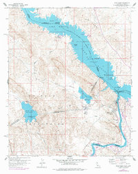
1959 Map of Gene Wash
USGS Topo · Published 1978About this map
Parker Dam serves as the focal point for this desert landscape, where the Colorado River is harnessed for power and water distribution. The industrial infrastructure of the era is prominent, featuring the Whitsett Intake and the Gene Pumping Sta, which drive water into the Colorado River Aqueduct. This massive engineering project cuts through the terrain via the Copper Basin Tunnel and Whipple Mtn Tunnel, connecting the Copper Basin Reservoir to the broader regional network.
Find a feature on this map
47 named features on this map. Tap any name to fly to it.
Don’t see what you’re looking for? This feature index may not catch every label — zoom into the map to look around manually.
Map Details
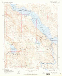
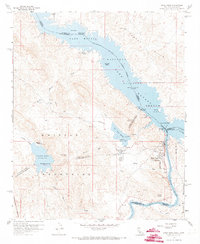
Editions of this 1959 Gene Wash Map
3 editions found
Other maps of this area

1911 · Parker
USGS Topo · 1:125,000

1943 · Giers Basin
USGS Topo · 1:62,500

1943 · Whipple Mts.
USGS Topo · 1:62,500

1943 · Parker
USGS Topo · 1:62,500

1949 · Parker
USGS Topo · 1:62,500

1950 · Parker Dam Area
USGS Topo · 1:62,500

1950 · Parker
USGS Topo · 1:62,500

1950 · Whipple Mts
USGS Topo · 1:62,500

1952 · Whipple Mts
USGS Topo · 1:62,500

1954 · Needles
USGS Topo · 1:250,000