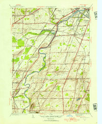
1952 Map of Genesee Junction
USGS Topo · Published 1954About this map
The Genesee River carves a winding path through this mid-century landscape south of Rochester, defining the boundaries and transport patterns of Chili, Henrietta, and Wheatland. This survey captures a dense network of steam-era infrastructure, including the Baltimore and Ohio, Pennsylvania, and Lehigh Valley railroads, which converge near the eponymous Genesee Junction. The map illustrates the region's transition from rural townships to a developing suburban periphery, evidenced by the proximity of Rochester Airport to established local landmarks like Methodist Hill and numerous numbered schools such as School No 2. Genealogists will find several family-named markers and cemeteries, including Bushman Cem, Martin Cem, and the riverfront Riverview Cem. Local industry is anchored by the State Agricultural and Industrial School in Industry, while terrain features like the Mile of Woods and Cedar Swamp highlight the natural character of the Genesee valley before modern expansion.
Find a feature on this map
63 named features on this map. Tap any name to fly to it.
Don’t see what you’re looking for? This feature index may not catch every label — zoom into the map to look around manually.
Map Details
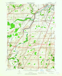
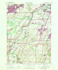
Editions of this 1952 Genesee Junction Map
3 editions found
Other maps of this area

1895 · Rochester
USGS Topo · 1:62,500

1898 · Rochester
USGS Topo · 1:62,500

1899 · Brockport
USGS Topo · 1:62,500

1901 · Honeoye
USGS Topo · 1:62,500

1904 · Caledonia
USGS Topo · 1:62,500

1904 · Honeoye
USGS Topo · 1:62,500

1912 · Rochester
USGS Topo · 1:62,500

1920 · Rochester
USGS Topo · 1:62,500

1931 · Mendon Ponds
USGS Topo · 1:24,000

1931 · Rochester West
USGS Topo · 1:24,000