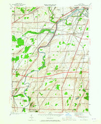
1952 Map of Genesee Junction
USGS Topo · Published 1965About this map
Genesee River serves as the central artery for this mid-century landscape south of Rochester, where a dense network of iron and asphalt intersects. The 1952 survey highlights the complex rail infrastructure of the era, featuring the Lehigh Valley Railroad, Erie Railroad, and the Baltimore and Ohio Railroad as they converge near Genesee Junction. This period marks the early presence of the Thruway, cutting east-west across the townships of Chili and Henrietta just as the post-war suburban shift began to alter traditional farm patterns.
Find a feature on this map
75 named features on this map. Tap any name to fly to it.
Don’t see what you’re looking for? This feature index may not catch every label — zoom into the map to look around manually.
Map Details
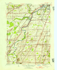
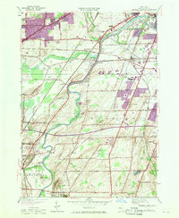
Editions of this 1952 Genesee Junction Map
3 editions found
Other maps of this area

1895 · Rochester
USGS Topo · 1:62,500

1898 · Rochester
USGS Topo · 1:62,500

1899 · Brockport
USGS Topo · 1:62,500

1901 · Honeoye
USGS Topo · 1:62,500

1904 · Caledonia
USGS Topo · 1:62,500

1904 · Honeoye
USGS Topo · 1:62,500

1912 · Rochester
USGS Topo · 1:62,500

1920 · Rochester
USGS Topo · 1:62,500

1931 · Mendon Ponds
USGS Topo · 1:24,000

1931 · Rochester West
USGS Topo · 1:24,000