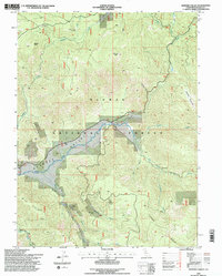
1994 Map of Genesee Valley
USGS Topo · Published 1997About this map
Genesee Valley forms a topographic depression through the center of this mountain landscape, where the settlement of Genesee sits at the confluence of several key drainages. The Indian Creek corridor serves as the primary artery through the valley, joined by tributaries including Ward Creek and Peel Creek. This area of the Plumas National Forest shows a long history of resource extraction, evidenced by the Beardsley Mine on the slopes below Kessler Peak and various other nameless mines and a Quarry scattered across the ridges. Movement through the steep terrain is facilitated by Walker Mine Road and river crossings like Flournoy Bridge and Drum Bridge. The presence of a small Cem near the creek suggests the early residential footprint of this Sierra Nevada community. High peaks like Wheeler Peak and the distinctive Elephants Playground define the horizon above the valley floor.
Find a feature on this map
36 named features on this map. Tap any name to fly to it.
Don’t see what you’re looking for? This feature index may not catch every label — zoom into the map to look around manually.
Map Details
Editions of this 1994 Genesee Valley Map
2 editions found
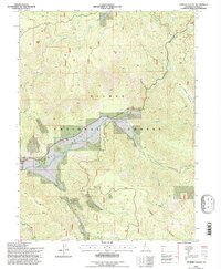
Other maps of this area

1886 · Honey Lake
USGS Topo · 1:250,000

1891 · Downieville
USGS Topo · 1:125,000

1891 · Honey Lake
USGS Topo · 1:250,000

1893 · Honey Lake
USGS Topo · 1:250,000

1893 · Downieville
USGS Topo · 1:125,000

1895 · Downieville
USGS Topo · 1:125,000

1896 · Downieville
USGS Topo · 1:125,000

1897 · Downieville
USGS Topo · 1:125,000

1937 · Blairsden
USGS Topo · 1:48,000

1943 · Blairsden
USGS Topo · 1:62,500