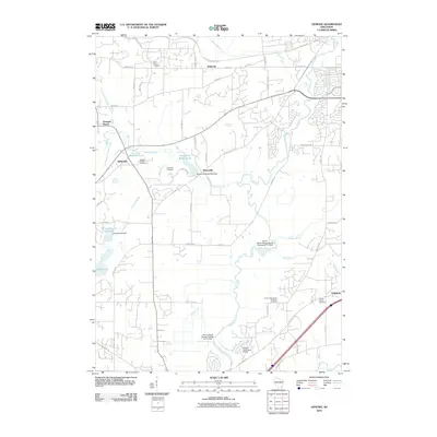
2010 Map of Genesee
USGS Topo · Published 2010About this map
The Fox River winds through this Waukesha County landscape, anchoring a series of wetlands and small water bodies that define the local geography. In the northern reaches, Bethesda and Genesee Depot serve as primary points of interest, while the village of Genesee sits near the confluence of the North Branch Genesee Creek and the South Branch Genesee Creek. This area preserves several family and community landmarks, including the Saint Pauls Cemetery and the Genesee Village Cemetery.
Find a feature on this map
62 named features on this map. Tap any name to fly to it.
Don’t see what you’re looking for? This feature index may not catch every label — zoom into the map to look around manually.
Map Details
Editions of this 2010 Genesee Map
This is the sole edition of this map. No revisions or reprints were ever made.
Other maps of this area

1891 · Muskego
USGS Topo · 1:62,500

1892 · Waukesha
USGS Topo · 1:62,500

1892 · Oconomowoc
USGS Topo · 1:62,500

1892 · Eagle
USGS Topo · 1:62,500

1894 · Eagle
USGS Topo · 1:62,500

1897 · Eagle
USGS Topo · 1:62,500

1901 · Waukesha
USGS Topo · 1:62,500

1901 · Muskego
USGS Topo · 1:62,500

1906 · Eagle
USGS Topo · 1:62,500

1906 · Waukesha
USGS Topo · 1:62,500