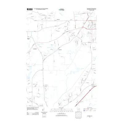
2013 Map of Genesee
USGS Topo · Published 2013About this map
The Fox River meanders through the heart of this Waukesha County landscape, defining the character of the small communities that emerged along its banks and tributaries. Saylesville stands prominently near the Saylesville Millpond, where the Genesee Cr flows southeast, illustrating a classic pattern of water-powered settlement. To the west, the village of Genesee and the neighboring Genesee Depot mark the local rail corridor, while residential expansion is evident in the street grids surrounding Bethesda and Vernon. The topography is marked by several bodies of water including Hayslope Lake, Spring Lake, and Willow Springs Lake 3.10, indicating a landscape rich in glacial features and drainage basins. This modern survey provides a detailed view of how contemporary roads like Saylesville Rd and State Road 59 integrate with the older village centers and the rural-suburban interface of southeastern Wisconsin.
Find a feature on this map
133 named features on this map. Tap any name to fly to it.
Don’t see what you’re looking for? This feature index may not catch every label — zoom into the map to look around manually.
Map Details
Editions of this 2013 Genesee Map
This is the sole edition of this map. No revisions or reprints were ever made.
Other maps of this area

1891 · Muskego
USGS Topo · 1:62,500

1892 · Waukesha
USGS Topo · 1:62,500

1892 · Oconomowoc
USGS Topo · 1:62,500

1892 · Eagle
USGS Topo · 1:62,500

1894 · Eagle
USGS Topo · 1:62,500

1897 · Eagle
USGS Topo · 1:62,500

1901 · Waukesha
USGS Topo · 1:62,500

1901 · Muskego
USGS Topo · 1:62,500

1906 · Eagle
USGS Topo · 1:62,500

1906 · Waukesha
USGS Topo · 1:62,500