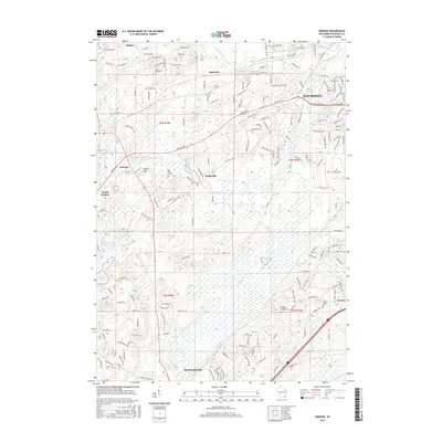
2016 Map of Genesee
USGS Topo · Published 2016About this map
The Fox River and its tributaries carve a complex glacial landscape through this portion of Waukesha County. The terrain is defined by prominent elevations such as Cambrian Rdg and Jarmon Rdg, which overlook a network of water bodies including Saylesville Millpond, Hayslope Lake, and Willow Springs Lake 3.10. Small historic settlements are scattered throughout the region, from the northern hamlets of Wales and Bethesda to the southern village of Vernon.
Find a feature on this map
145 named features on this map. Tap any name to fly to it.
Don’t see what you’re looking for? This feature index may not catch every label — zoom into the map to look around manually.
Map Details
Editions of this 2016 Genesee Map
This is the sole edition of this map. No revisions or reprints were ever made.
Other maps of this area

1891 · Muskego
USGS Topo · 1:62,500

1892 · Waukesha
USGS Topo · 1:62,500

1892 · Oconomowoc
USGS Topo · 1:62,500

1892 · Eagle
USGS Topo · 1:62,500

1894 · Eagle
USGS Topo · 1:62,500

1897 · Eagle
USGS Topo · 1:62,500

1901 · Waukesha
USGS Topo · 1:62,500

1901 · Muskego
USGS Topo · 1:62,500

1906 · Eagle
USGS Topo · 1:62,500

1906 · Waukesha
USGS Topo · 1:62,500