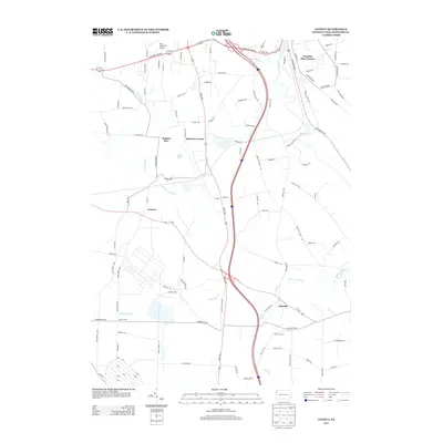
2013 Map of Geneva
USGS Topo · Published 2013About this map
Geneva and its surrounding rural hamlets are centered in this survey of southern Crawford County, defined by the winding course of the Conneaut Outlet and the wide valley of French Creek. The landscape is characterized by a series of long-standing crossroads settlements including Custards, Keborts Corners, and Allison Corners, which reflect the historic agricultural land patterns of the region. Transportation remains a dominant theme, from the modern highway corridors to the Port Meadville Airport near the northern boundary.
Find a feature on this map
103 named features on this map. Tap any name to fly to it.
Don’t see what you’re looking for? This feature index may not catch every label — zoom into the map to look around manually.
Map Details
Editions of this 2013 Geneva Map
This is the sole edition of this map. No revisions or reprints were ever made.
Other maps of this area

1906 · Linesville
USGS Topo · 1:62,500

1908 · Shenango
USGS Topo · 1:62,500

1908 · Linesville
USGS Topo · 1:62,500

1911 · Stoneboro
USGS Topo · 1:62,500

1913 · Stoneboro
USGS Topo · 1:62,500

1923 · Meadville
USGS Topo · 1:62,500

1925 · Meadville
USGS Topo · 1:62,500

1943 · Meadville
USGS Topo · 1:62,500

1943 · Stoneboro
USGS Topo · 1:62,500

1950 · Cleveland
USGS Topo · 1:250,000