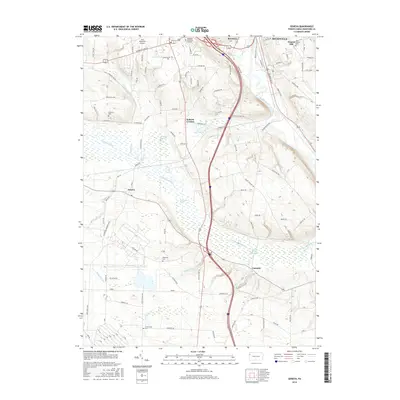
2016 Map of Geneva
USGS Topo · Published 2016About this map
French Creek and the expansive Conneaut Marsh define the landscape south of Meadville in this mid-2010s survey. The topography transitions from the urbanized edges of Kerrtown and the Port Meadville Airport into a complex wetland system. This area, dominated by the Conneaut Outlet and the Conneaut Marsh Reservoir, illustrates the intersection of modern transportation corridors and managed natural preserves. Smaller crossroads like Keborts Corners, Geneva, and Custards anchor the rural landscape, connected by a dense network of local roads such as Mercer Pike and Conneaut Lake Rd. Genealogists will find several notable burial sites throughout the quadrangle, including Roselawn Memorial Gardens, Saint Brigid's Cem, and the more secluded Andrews Cem and Anderson Cem.
Find a feature on this map
100 named features on this map. Tap any name to fly to it.
Don’t see what you’re looking for? This feature index may not catch every label — zoom into the map to look around manually.
Map Details
Editions of this 2016 Geneva Map
This is the sole edition of this map. No revisions or reprints were ever made.
Other maps of this area

1906 · Linesville
USGS Topo · 1:62,500

1908 · Shenango
USGS Topo · 1:62,500

1908 · Linesville
USGS Topo · 1:62,500

1911 · Stoneboro
USGS Topo · 1:62,500

1913 · Stoneboro
USGS Topo · 1:62,500

1923 · Meadville
USGS Topo · 1:62,500

1925 · Meadville
USGS Topo · 1:62,500

1943 · Meadville
USGS Topo · 1:62,500

1943 · Stoneboro
USGS Topo · 1:62,500

1950 · Cleveland
USGS Topo · 1:250,000