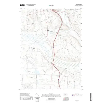
2019 Map of Geneva
USGS Topo · Published 2019About this map
French Creek and the southern edge of Meadville anchor this part of Crawford County, where the landscape transitions into the expansive wetlands of the Conneaut Marsh. The central drainage of Conneaut Outlet defines the low-lying terrain, creating a distinct natural corridor between the elevated grounds of Neason Hill and the settlement at Geneva. This geography heavily influenced local development, forcing roads and small communities like Keborts Corners and Custards to follow the contours of the valley.
Find a feature on this map
95 named features on this map. Tap any name to fly to it.
Don’t see what you’re looking for? This feature index may not catch every label — zoom into the map to look around manually.
Map Details
Editions of this 2019 Geneva Map
This is the sole edition of this map. No revisions or reprints were ever made.
Other maps of this area

1906 · Linesville
USGS Topo · 1:62,500

1908 · Shenango
USGS Topo · 1:62,500

1908 · Linesville
USGS Topo · 1:62,500

1911 · Stoneboro
USGS Topo · 1:62,500

1913 · Stoneboro
USGS Topo · 1:62,500

1923 · Meadville
USGS Topo · 1:62,500

1925 · Meadville
USGS Topo · 1:62,500

1943 · Meadville
USGS Topo · 1:62,500

1943 · Stoneboro
USGS Topo · 1:62,500

1950 · Cleveland
USGS Topo · 1:250,000