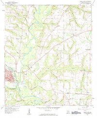
1957 Map of Geneva East
USGS Topo · Published 1984About this map
The confluence of the Pea River and the Choctawhatchee River anchors the community of Geneva in this late-1950s landscape. This survey documents the intersection of river-based geography and the Louisville and Nashville railroad, which tracks through the southern portion of the county through settlements like Eunola, Thurston, and Black. The map reveals a rural economy transitioning from older milling sites like Vanlandingham Mill and Wheeler Mill Branch toward modern mid-century markers, including a Drive-in Theater near Kellys Crossroads and multiple Landing Fields. Genealogists will find numerous rural landmarks preserved here, from Oak Grove School and Providence Church to the Carter Cemetery, alongside smaller waterways like Schuille Mill Branch and Ice Factory Branch.
Find a feature on this map
48 named features on this map. Tap any name to fly to it.
Don’t see what you’re looking for? This feature index may not catch every label — zoom into the map to look around manually.
Map Details
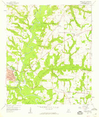
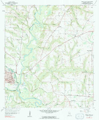
Editions of this 1957 Geneva East Map
3 editions found
Other maps of this area

1942 · Enterprise
USGS Topo · 1:125,000

1949 · Hobbs Crossroads
USGS Topo · 1:24,000

1950 · Hobbs Cross Roads
USGS Topo · 1:24,000

1950 · Izagora
USGS Topo · 1:24,000

1950 · Esto
USGS Topo · 1:24,000

1951 · Esto
USGS Topo · 1:24,000

1953 · Dothan
USGS Topo · 1:250,000

1954 · Dothan
USGS Topo · 1:250,000

1954 · Tallahassee
USGS Topo · 1:250,000

1955 · Dothan
USGS Topo · 1:250,000