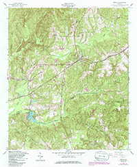
1955 Map of Geneva
USGS Topo · Published 1988About this map
Geneva serves as a central hub on this mid-century survey, situated at the intersection of Georgia 80 and the Central of Georgia railroad line. The landscape is defined by the headwaters of the Upatoi drainage system, featuring the South Fork Upatoi Creek and Little Juniper Creek which feed into Juniper Lake. The settlement pattern reflects a rural community organized around rail stops and country churches, with prominent landmarks such as Camel Chapel and Welcome Ch dotting the terrain. The presence of the Geneva Sch and the Juniper Sta rail stop highlights the civic and economic infrastructure of the era. To the south, the boundary between Talbot and Marion counties runs through the creek bottoms, marking a quiet agricultural district characterized by many small cemeteries including Oak Grove Cem and Geneva Cem.
Find a feature on this map
22 named features on this map. Tap any name to fly to it.
Don’t see what you’re looking for? This feature index may not catch every label — zoom into the map to look around manually.
Map Details
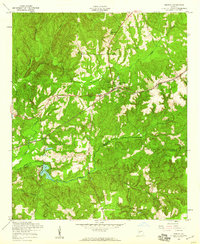
Editions of this 1955 Geneva Map
2 editions found
Other maps of this area

1907 · Talbotton
USGS Topo · 1:125,000

1949 · Upatoi
USGS Topo · 1:24,000

1949 · Buena Vista NW
USGS Topo · 1:24,000

1950 · Talbotton
USGS Topo · 1:24,000

1950 · Geneva
USGS Topo · 1:24,000

1950 · Waverly Hall
USGS Topo · 1:24,000

1950 · Buena Vista NE
USGS Topo · 1:24,000

1950 · Buena Vista
USGS Topo · 1:62,500

1950 · Talbotton
USGS Topo · 1:62,500

1955 · Talbotton
USGS Topo · 1:24,000