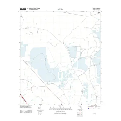
2012 Map of Genoa
USGS Topo · Published 2012About this map
Genoa and the surrounding Hamilton County landscape are defined by a network of rural roads and historical settlement nodes that reflect the area's timber and agricultural heritage. This 2012 survey illustrates a topography of low-lying wetlands and creek drainages, with Swift Creek meandering through the central portion of the quadrangle. Distinctive local identifiers such as Blacks Still, Camps Still, and Purvis Still point to the historic naval stores industry once prevalent in this part of Florida. Genealogists will find several burial grounds documented, including Barton Cemetery and Poole Pond Cemetery. The presence of the Christie Lookout Tower in the north and the landform known as Pine Island highlight the managed forest environment, while the proximity of Belmont near the northern border anchors the local geography.
Find a feature on this map
47 named features on this map. Tap any name to fly to it.
Don’t see what you’re looking for? This feature index may not catch every label — zoom into the map to look around manually.
Map Details
Editions of this 2012 Genoa Map
This is the sole edition of this map. No revisions or reprints were ever made.
Other maps of this area

1954 · Valdosta
USGS Topo · 1:250,000

1955 · Jasper
USGS Topo · 1:24,000

1955 · Cypress Creek
USGS Topo · 1:24,000

1955 · Fargo SW
USGS Topo · 1:24,000

1958 · Valdosta
USGS Topo · 1:250,000

1959 · Valdosta
USGS Topo · 1:250,000

1961 · Live Oak East
USGS Topo · 1:24,000

1961 · Hillcoat
USGS Topo · 1:24,000

1961 · White Springs East
USGS Topo · 1:24,000

1961 · White Springs West
USGS Topo · 1:24,000