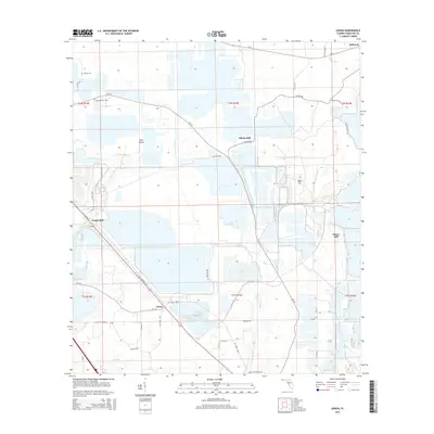
2015 Map of Genoa
USGS Topo · Published 2015About this map
Genoa and its surrounding hamlets in Hamilton County are defined by a distinct industrial and rural history, visible in the cluster of "Still" settlements across the landscape. Places like Blacks Still, Purvis Still, and Camps Still reflect the region's historical ties to naval stores and timber operations, where turpentine stills once anchored local economies. The terrain is marked by water and wetlands, with Swift Creek and its tributaries, such as Jerry Branch and Hogans Branch, carving through the pine-laden environment of Pine Island. Long-established family and community roots are preserved in local burial grounds, including Barton Cemetery, Spring Branch Cemetery, and Swift Creek Cemetery. The network of backroads like SE 62nd Drive and SE US Highway 41 connects these small enclaves, providing a spatial record of North Florida's transition from an extractive industry hub to a quiet agricultural corridor.
Find a feature on this map
45 named features on this map. Tap any name to fly to it.
Don’t see what you’re looking for? This feature index may not catch every label — zoom into the map to look around manually.
Map Details
Editions of this 2015 Genoa Map
This is the sole edition of this map. No revisions or reprints were ever made.
Other maps of this area

1954 · Valdosta
USGS Topo · 1:250,000
1955 · Jasper
USGS Topo · 1:24,000
1955 · Cypress Creek
USGS Topo · 1:24,000
1955 · Fargo SW
USGS Topo · 1:24,000
1958 · Valdosta
USGS Topo · 1:250,000
1959 · Valdosta
USGS Topo · 1:250,000
1961 · Live Oak East
USGS Topo · 1:24,000
1961 · Hillcoat
USGS Topo · 1:24,000
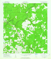
1961 · White Springs East
USGS Topo · 1:24,000
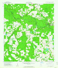
1961 · White Springs West
USGS Topo · 1:24,000