
1925 Map of Georgetown 4-b
USGS Topo · Published 1925About this map
Georgetown sits at the confluence of the three primary forks of the San Gabriel River, serving as the central hub for this Williamson County landscape during the mid-1920s. The settlement pattern reveals a rural community supported by a network of local institutions, including the Strickland Grove Church and several country schools such as the Mt Prospect School and Fairview School. These neighborhood-scale landmarks indicate a decentralized population that relied on the Missouri Kansas and Texas railroad for regional connectivity.
Find a feature on this map
16 named features on this map. Tap any name to fly to it.
Don’t see what you’re looking for? This feature index may not catch every label — zoom into the map to look around manually.
Map Details
Editions of this 1925 Georgetown 4-b Map
This is the sole edition of this map. No revisions or reprints were ever made.
Other maps of this area

1893 · Georgetown
USGS Topo · 1:125,000

1925 · Georgetown 4-d
USGS Topo · 1:48,000

1928 · Round Rock
USGS Topo · 1:62,500

1949 · Round Rock
USGS Topo · 1:62,500

1951 · Round Rock
USGS Topo · 1:62,500

1954 · Austin
USGS Topo · 1:250,000
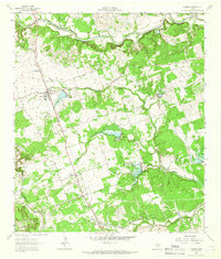
1962 · Leander
USGS Topo · 1:24,000
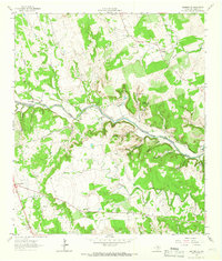
1962 · Leander NE
USGS Topo · 1:24,000
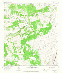
1964 · Cobbs Cavern
USGS Topo · 1:24,000
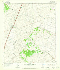
1964 · Jarrell
USGS Topo · 1:24,000