
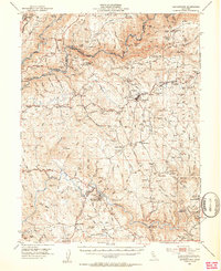
1949 Map of Georgetown
USGS Topo · Published 1949About this map
The gold-bearing canyons of the Middle Fork American River and the South Fork American River define this post-war landscape in El Dorado County. This area is deeply tied to the origins of the California Gold Rush, anchored by the Sutters Mill Site and the Gold Discovery Site State Park near Coloma. The map reveals the intricate water systems required for hydraulic and lode mining, including the extensive Georgetown Ditch and numerous workings such as the Grit Mine, Shenandoah Mine, and Black Oak Mine.
Find a feature on this map
100 named features on this map. Tap any name to fly to it.
Don’t see what you’re looking for? This feature index may not catch every label — zoom into the map to look around manually.
Map Details
Editions of this 1949 Georgetown Map
5 editions found
Other maps of this area

1888 · Smartsville
USGS Topo · 1:125,000

1891 · Sacramento
USGS Topo · 1:125,000

1891 · Colfax
USGS Topo · 1:125,000

1891 · Smartsville
USGS Topo · 1:125,000

1891 · Placerville
USGS Topo · 1:125,000

1892 · Sacramento
USGS Topo · 1:125,000

1892 · Placerville
USGS Topo · 1:125,000

1892 · Smartsville
USGS Topo · 1:125,000

1892 · Colfax
USGS Topo · 1:125,000

1893 · Placerville
USGS Topo · 1:125,000