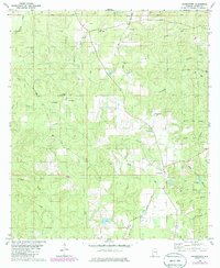
1982 Map of Georgetown
USGS Topo · Published 1985About this map
Georgetown and the surrounding Mobile County timberlands appear in this survey as a landscape of rural settlements and winding tributaries. The area is defined by its water system, where Puppy Creek and Big Pond Creek drain the undulating terrain near Sand Hill. Local navigation was tied to historic crossings, evidenced by the presence of Ferry Road and Mason Ferry Road, which once connected these uplands to the larger river systems nearby.
Find a feature on this map
38 named features on this map. Tap any name to fly to it.
Don’t see what you’re looking for? This feature index may not catch every label — zoom into the map to look around manually.
Map Details
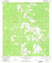
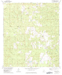
Editions of this 1982 Georgetown Map
3 editions found
Other maps of this area

1941 · Creola
USGS Topo · 1:62,500

1942 · Kushla
USGS Topo · 1:31,680

1942 · Deer Park
USGS Topo · 1:62,500

1942 · Wilmer
USGS Topo · 1:62,500

1943 · Creola
USGS Topo · 1:62,500

1943 · Deer Park
USGS Topo · 1:62,500

1943 · Citronelle
USGS Topo · 1:62,500

1944 · Wilmer
USGS Topo · 1:62,500

1946 · Citronelle
USGS Topo · 1:62,500
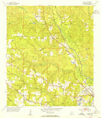
1953 · Kushla
USGS Topo · 1:24,000