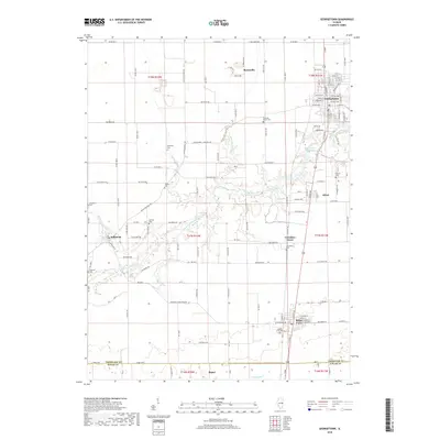
2018 Map of Georgetown
USGS Topo · Published 2018About this map
Georgetown and its surrounding agricultural townships define this landscape in east-central Illinois. The Little Vermilion River snakes through the center of the map, supporting the Georgetown Reservoir before continuing past the village of Olivet. This waterway historically influenced the siting of early settlements like Indianola and Vermilion Grove, which remain connected by a network of county roads including Catlin Indianola Rd.
Find a feature on this map
134 named features on this map. Tap any name to fly to it.
Don’t see what you’re looking for? This feature index may not catch every label — zoom into the map to look around manually.
Map Details
Editions of this 2018 Georgetown Map
This is the sole edition of this map. No revisions or reprints were ever made.
Other maps of this area

1899 · Danville
USGS Topo · 1:62,500

1900 · Danville
USGS Topo · 1:62,500

1931 · Fithian
USGS Topo · 1:48,000

1943 · Fithian
USGS Topo · 1:62,500

1947 · Ridge Farm
USGS Topo · 1:62,500

1949 · Danville SW
USGS Topo · 1:24,000

1950 · Danville SW
USGS Topo · 1:24,000

1950 · Danville SE
USGS Topo · 1:24,000

1951 · Danville SE
USGS Topo · 1:24,000

1953 · Danville
USGS Topo · 1:250,000