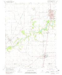
1966 Map of Georgetown
USGS Topo · Published 1981About this map
The Little Vermilion River carves a winding path through the heart of south-central Vermilion County, shaping a landscape defined by small agricultural settlements and a dense network of early transportation routes. In the mid-1960s, Georgetown serves as a primary hub, showing the concentrated grid of Fraizer Sch, a High Sch, and industrial features like the Waterworks and Forest Park. The presence of a Mine Dump near the northern settlement of Bunsenville points to the region's coal mining history, which fueled the development of the several rail lines crossing the territory.
Find a feature on this map
38 named features on this map. Tap any name to fly to it.
Don’t see what you’re looking for? This feature index may not catch every label — zoom into the map to look around manually.
Map Details
Editions of this 1966 Georgetown Map
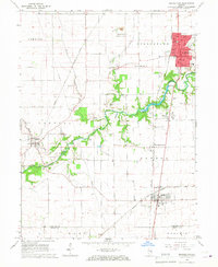
2 editions found
Other maps of this area

1899 · Danville
USGS Topo · 1:62,500

1900 · Danville
USGS Topo · 1:62,500

1931 · Fithian
USGS Topo · 1:48,000

1943 · Fithian
USGS Topo · 1:62,500

1947 · Ridge Farm
USGS Topo · 1:62,500

1949 · Danville SW
USGS Topo · 1:24,000

1950 · Danville SW
USGS Topo · 1:24,000

1950 · Danville SE
USGS Topo · 1:24,000

1951 · Danville SE
USGS Topo · 1:24,000

1953 · Danville
USGS Topo · 1:250,000