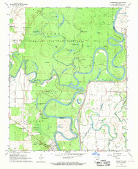
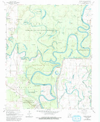
1968 Map of Georgetown
USGS Topo · Published 1970About this map
The confluence of the Little Red River and the meandering White River dominates this landscape in eastern White County. The river systems define the local geography, featuring numerous oxbow lakes and sloughs such as Big Hurricane Lake, Turtle Lake, and Honey Lake. The Hurricane Lake State Game Area covers a significant portion of the northern and central terrain, preserving the bottomland character of the region.
Find a feature on this map
70 named features on this map. Tap any name to fly to it.
Don’t see what you’re looking for? This feature index may not catch every label — zoom into the map to look around manually.
Map Details
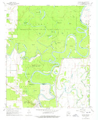
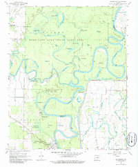
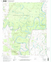
Editions of this 1968 Georgetown Map
5 editions found
Other maps of this area

1932 · Kensett
USGS Topo · 1:62,500

1935 · Kensett
USGS Topo · 1:62,500

1935 · Augusta
USGS Topo · 1:62,500

1935 · Gregory
USGS Topo · 1:62,500

1935 · Bald Knob
USGS Topo · 1:62,500

1953 · Memphis
USGS Topo · 1:250,000

1956 · Memphis
USGS Topo · 1:250,000

1957 · Augusta
USGS Topo · 1:62,500

1957 · Gregory
USGS Topo · 1:62,500
1964 · Jasmine
USGS Topo · 1:24,000