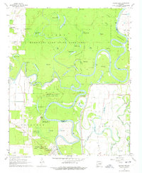
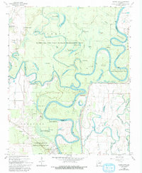
1968 Map of Georgetown
USGS Topo · Published 1974About this map
Georgetown and the serpentine White River define this riverine landscape in White County, Arkansas. The map details a complex network of oxbow lakes and bottomlands, including the extensive Hurricane Lake State Game Area. Numerous family-named and descriptive water bodies like Three Sisters Lake, Big Hurricane Lake, and Little Green Tom Lake illustrate the seasonal flooding and shifting hydrology of the region. The river's role in local commerce is evidenced by Princeton Landing and Postal Landing, alongside the Gaging Station located near the town of Georgetown. Away from the river, small rural nodes such as Mitchell Corner and Nimmo appear, often anchored by local congregations like Faith Assembly Ch and Lone Star Ch. For genealogists, the Nelson Cemetery and proximity to the Woodruff and White County line provide specific locational data for families who lived along the river’s edge.
Find a feature on this map
71 named features on this map. Tap any name to fly to it.
Don’t see what you’re looking for? This feature index may not catch every label — zoom into the map to look around manually.
Map Details
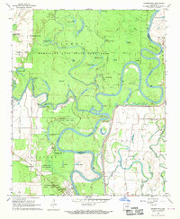
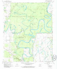
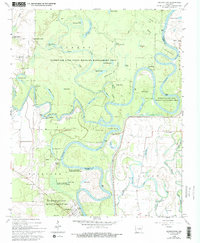
Editions of this 1968 Georgetown Map
5 editions found
Other maps of this area

1932 · Kensett
USGS Topo · 1:62,500

1935 · Kensett
USGS Topo · 1:62,500

1935 · Augusta
USGS Topo · 1:62,500

1935 · Gregory
USGS Topo · 1:62,500

1935 · Bald Knob
USGS Topo · 1:62,500

1953 · Memphis
USGS Topo · 1:250,000

1956 · Memphis
USGS Topo · 1:250,000

1957 · Augusta
USGS Topo · 1:62,500

1957 · Gregory
USGS Topo · 1:62,500
1964 · Jasmine
USGS Topo · 1:24,000