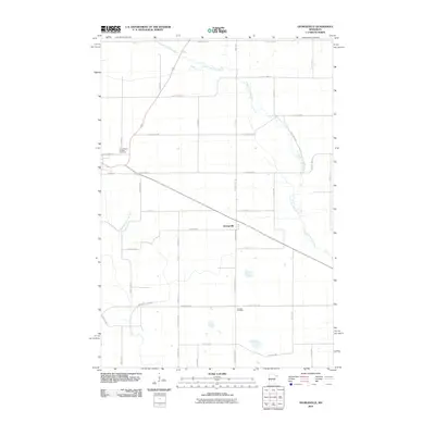
2010 Map of Georgeville
USGS Topo · Published 2010About this map
Georgeville sits at the heart of this central Minnesota landscape, where the agricultural grid is defined by a dense network of county highways and local roads such as County Hwy-19 and Eastbend Rd. The drainage patterns of the region are dominated by the winding paths of the North Fork Crow River and the Middle Fork Crow River, which cut across the structured section lines of Stearns County. These waterways influenced early settlement and road placement in an area primarily dedicated to farming. For genealogists and local historians, the presence of Saint Francis de Sales Cemetery and Gausdal Cemetery provides specific points of interest for tracing family roots. The map also identifies local landmarks like School St, reflecting the civic priorities of the community as it appeared in the early 21st century.
Find a feature on this map
39 named features on this map. Tap any name to fly to it.
Don’t see what you’re looking for? This feature index may not catch every label — zoom into the map to look around manually.
Map Details
Editions of this 2010 Georgeville Map
This is the sole edition of this map. No revisions or reprints were ever made.
Other maps of this area

1953 · Saint Cloud
USGS Topo · 1:250,000

1957 · Saint Cloud
USGS Topo · 1:250,000

1958 · Saint Cloud
USGS Topo · 1:250,000

1965 · Greenwald
USGS Topo · 1:24,000

1965 · Padua
USGS Topo · 1:24,000

1965 · Elrosa
USGS Topo · 1:24,000

1967 · Mount Tom
USGS Topo · 1:24,000

1967 · Belgrade
USGS Topo · 1:24,000
1967 · Georgeville
USGS Topo · 1:24,000

1967 · Hawick
USGS Topo · 1:24,000