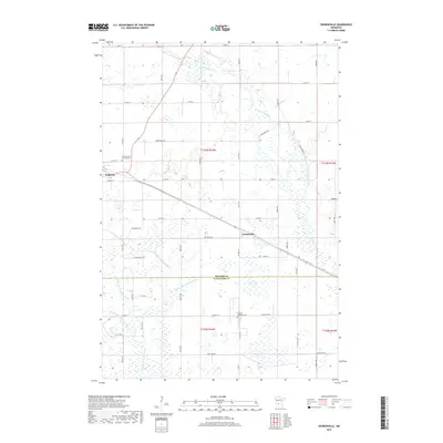
2019 Map of Georgeville
USGS Topo · Published 2019About this map
Belgrade serves as the primary municipal center in this section of central Minnesota, situated along the northwestern edge of the map. The landscape transitions into a more rural, agricultural character moving southeast toward the smaller settlement of Georgeville. This territory is defined by the winding paths of the N Fork Crow River and the Middle Fork Crow River, which dictate the drainage patterns across the county line between Stearns and Kandiyohi. Local history and genealogy are anchored by established landmarks such as the Saint Francis De Sales Cem near the town center and the Gausdal Lutheran Cem further south. The intricate network of drainage systems, including County Ditch Number B Five and County Ditch Number B Seven, highlights the significant hydraulic engineering required to manage the low-lying prairie terrain for agricultural production.
Find a feature on this map
53 named features on this map. Tap any name to fly to it.
Don’t see what you’re looking for? This feature index may not catch every label — zoom into the map to look around manually.
Map Details
Editions of this 2019 Georgeville Map
This is the sole edition of this map. No revisions or reprints were ever made.
Other maps of this area

1953 · Saint Cloud
USGS Topo · 1:250,000
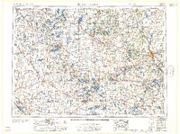
1957 · Saint Cloud
USGS Topo · 1:250,000
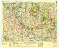
1958 · Saint Cloud
USGS Topo · 1:250,000
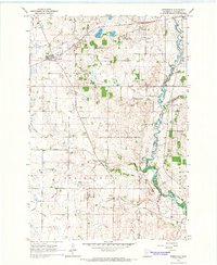
1965 · Greenwald
USGS Topo · 1:24,000
1965 · Padua
USGS Topo · 1:24,000
1965 · Elrosa
USGS Topo · 1:24,000
1967 · Mount Tom
USGS Topo · 1:24,000
1967 · Belgrade
USGS Topo · 1:24,000
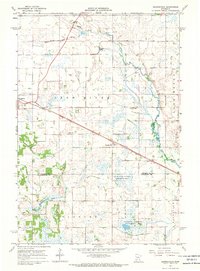
1967 · Georgeville
USGS Topo · 1:24,000
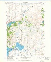
1967 · Hawick
USGS Topo · 1:24,000