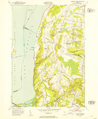
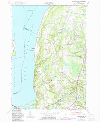
1948 Map of Georgia Plains
USGS Topo · Published 1953About this map
The shoreline of Lake Champlain in the late 1940s reveals a landscape defined by seasonal recreation and small agricultural clusters. Along the water's edge, a series of summer establishments like Camp Rich, Camp Watson, and Algonquin Camp highlight the area's development as a retreat. In the southern portion of the quadrangle, the Lamoille River winds through the lowlands near the village of Milton, passing by the distinct local identifier of Checkerberry Village.
Find a feature on this map
44 named features on this map. Tap any name to fly to it.
Don’t see what you’re looking for? This feature index may not catch every label — zoom into the map to look around manually.
Map Details
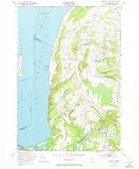
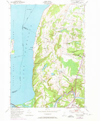
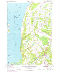
Editions of this 1948 Georgia Plains Map
5 editions found
Other maps of this area

1894 · Plattsburg
USGS Topo · 1:62,500

1895 · Rouse Point
USGS Topo · 1:62,500

1906 · Plattsburg
USGS Topo · 1:62,500

1907 · Rouse Point
USGS Topo · 1:62,500

1913 · Milton
USGS Topo · 1:48,000

1914 · St. Albans
USGS Topo · 1:48,000

1915 · Milton
USGS Topo · 1:62,500

1916 · St. Albans
USGS Topo · 1:62,500

1939 · Rouses Point
USGS Topo · 1:62,500

1939 · Plattsburg
USGS Topo · 1:62,500