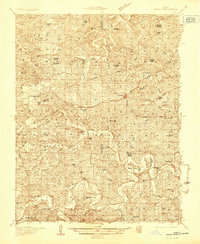
1935 Map of Gerald
USGS Topo · Published 1935About this map
Gasconade and Franklin counties meet in this 1930s landscape, where the Chicago Rock Island and Pacific railroad serves as the primary backbone for regional commerce. The tracks link the developing settlements of Gerald and Rosebud with the larger hub of Owensville to the west. This era of rural development is marked by a dense network of country schools, including Buffalo Ridge School, Kiel Sch, and Japan Sch, illustrating the dispersed community structure before school consolidation became widespread.
Find a feature on this map
80 named features on this map. Tap any name to fly to it.
Don’t see what you’re looking for? This feature index may not catch every label — zoom into the map to look around manually.
Map Details
Editions of this 1935 Gerald Map
This is the sole edition of this map. No revisions or reprints were ever made.
Other maps of this area

1890 · Hermann
USGS Topo · 1:125,000

1890 · Fulton
USGS Topo · 1:125,000

1903 · Sullivan
USGS Topo · 1:125,000
1934 · Bland
USGS Topo · 1:62,500
1934 · Redbird
USGS Topo · 1:62,500
1935 · Morrison
USGS Topo · 1:48,000
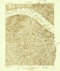
1936 · Hermann
USGS Topo · 1:48,000
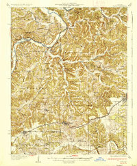
1937 · Bland
USGS Topo · 1:62,500
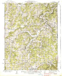
1938 · Redbird
USGS Topo · 1:62,500
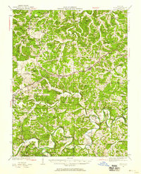
1941 · Gerald
USGS Topo · 1:62,500