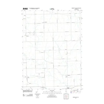
2012 Map of German Valley
USGS Topo · Published 2012About this map
The Leaf River flows across the southern reaches of this Ogle County landscape, anchoring a series of small agricultural settlements and rural crossings. In the early 2010s, this area remained defined by its long-standing farmstead network and numerous community burial grounds, such as the Ridott Christian Reformed Cem and Silver Creek Reformed Cem. These cemeteries, often paired with namesake churches, highlight the cultural heritage of the Fairview and Egan vicinities. To the west, the village of Adeline sits near its own Adeline Cem, while the northern terrain is punctuated by Bunker Hill. The infrastructure of the region is a grid of named section roads, including E German Valley Rd and S Farwell Bridge Rd, which connect these small clusters to local landmarks like Rummel RLA Airport.
Find a feature on this map
61 named features on this map. Tap any name to fly to it.
Don’t see what you’re looking for? This feature index may not catch every label — zoom into the map to look around manually.
Map Details
Editions of this 2012 German Valley Map
This is the sole edition of this map. No revisions or reprints were ever made.
Other maps of this area

1922 · Oregon
USGS Topo · 1:62,500

1924 · Oregon
USGS Topo · 1:62,500

1932 · Pecatonica
USGS Topo · 1:62,500

1936 · Pecatonica
USGS Topo · 1:62,500

1939 · Freeport
USGS Topo · 1:48,000

1942 · Forreston
USGS Topo · 1:62,500

1944 · Freeport
USGS Topo · 1:62,500

1945 · Forreston
USGS Topo · 1:62,500

1954 · Rockford
USGS Topo · 1:250,000

1955 · Rockford
USGS Topo · 1:250,000