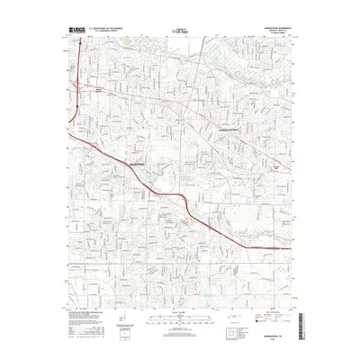
2016 Map of Germantown
USGS Topo · Published 2016About this map
Germantown and the eastern expansion of Memphis anchor this mid-2010s study of Shelby County's evolving suburban landscape. The topography is defined by the drainage basins of the Wolf River to the north and Nonconnah Creek to the south, with the land between them heavily partitioned into residential developments and major corridors like Wolf River Blvd and Shady Grove Rd.
Find a feature on this map
166 named features on this map. Tap any name to fly to it.
Don’t see what you’re looking for? This feature index may not catch every label — zoom into the map to look around manually.
Map Details
Editions of this 2016 Germantown Map
This is the sole edition of this map. No revisions or reprints were ever made.
Other maps of this area

1943 · Collierville
USGS Topo · 1:62,500

1944 · Hernando
USGS Topo · 1:62,500

1948 · Byhalia
USGS Topo · 1:62,500

1953 · Collierville
USGS Topo · 1:50,000

1956 · Blytheville
USGS Topo · 1:250,000

1956 · Tupelo
USGS Topo · 1:250,000

1958 · Tupelo
USGS Topo · 1:250,000

1959 · Blytheville
USGS Topo · 1:250,000

1960 · Bartlett
USGS Topo · 1:62,500

1961 · Bartlett
USGS Topo · 1:62,500