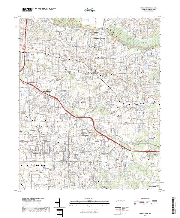
2023 Map of Germantown
USGS Topo · Published 2023About this map
Germantown and the eastern edge of Memphis define this modern landscape in Shelby County, where suburban expansion meets the winding course of the Wolf River and Nonconnah Creek. The map provides significant genealogical value through its detailed labeling of numerous burial grounds, ranging from the large West Tennessee State Veterans Cem to smaller family sites like the Kimbrough Family Cem and Harrison Family Cem. These markers sit alongside long-standing local landmarks such as White Station and Forest Hill.
Find a feature on this map
38 named features on this map. Tap any name to fly to it.
Don’t see what you’re looking for? This feature index may not catch every label — zoom into the map to look around manually.
Map Details
Editions of this 2023 Germantown Map
This is the sole edition of this map. No revisions or reprints were ever made.
Other maps of this area

1943 · Collierville
USGS Topo · 1:62,500

1944 · Hernando
USGS Topo · 1:62,500

1948 · Byhalia
USGS Topo · 1:62,500

1953 · Collierville
USGS Topo · 1:50,000

1956 · Blytheville
USGS Topo · 1:250,000

1956 · Tupelo
USGS Topo · 1:250,000

1958 · Tupelo
USGS Topo · 1:250,000

1959 · Blytheville
USGS Topo · 1:250,000

1960 · Bartlett
USGS Topo · 1:62,500

1961 · Bartlett
USGS Topo · 1:62,500