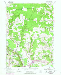
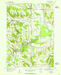
1954 Map of Gerry
USGS Topo · Published 1980About this map
Cassadaga Creek and the Chadakoin River converge in the southern portion of this mid-century survey, defining the development of the Falconer and Levant areas. The landscape is a mix of agricultural valley land and significant high-elevation State Reforestation Areas, where hilltops like Harris Hill and Dahey Hill rise above the surrounding creek basins. This period shows a community in transition, featuring early infrastructure like the Jamestown Pumping Sta and a Sewage Disposal facility alongside mid-century leisure landmarks such as the Drive-in Theater and the Jamestown Optimist Boys Camp. Genealogists will find a wealth of burial grounds throughout the townships of Gerry, Ellington, and Ellicott, including the Gerry Hill Cemetery and Valley View Cemetery, while the rail corridor of Conrail marks the industrial edge of the southern settlements.
Find a feature on this map
76 named features on this map. Tap any name to fly to it.
Don’t see what you’re looking for? This feature index may not catch every label — zoom into the map to look around manually.
Map Details
Editions of this 1954 Gerry Map
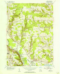
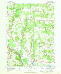
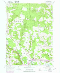
4 editions found
Other maps of this area

1900 · Dunkirk
USGS Topo · 1:62,500

1900 · Cherry Creek
USGS Topo · 1:62,500

1904 · Chautaqua
USGS Topo · 1:62,500

1905 · Jamestown
USGS Topo · 1:62,500

1941 · Cherry Creek
USGS Topo · 1:62,500

1941 · Chautauqua
USGS Topo · 1:62,500

1942 · Jamestown
USGS Topo · 1:62,500

1943 · Dunkirk
USGS Topo · 1:62,500
1954 · Kennedy
USGS Topo · 1:24,000

1954 · Ellery Center
USGS Topo · 1:24,000