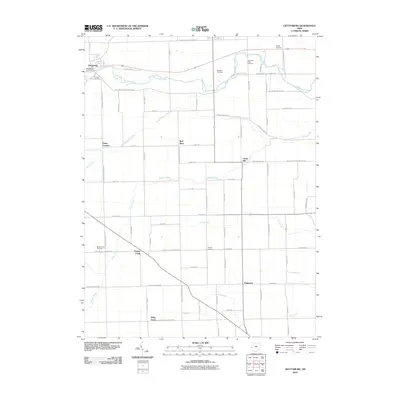
2010 Map of Gettysburg
USGS Topo · Published 2010About this map
Greenville Creek meanders through the northern landscape of Darke County, anchoring a region of well-ordered agrarian plots and small crossroads settlements. Near the village of Gettysburg, landmarks like the Gettysburg Post Office and Cromer Cemetery serve as focal points for the local community. The mapping of numerous family and church burial grounds, including the Deeter Cemetery and Greenville Creek Cemetery, provides significant data for genealogists tracing the legacy of early settlers in this part of Ohio.
Find a feature on this map
74 named features on this map. Tap any name to fly to it.
Don’t see what you’re looking for? This feature index may not catch every label — zoom into the map to look around manually.
Map Details
Editions of this 2010 Gettysburg Map
This is the sole edition of this map. No revisions or reprints were ever made.
Other maps of this area

1905 · Brookville
USGS Topo · 1:62,500

1911 · Covington
USGS Topo · 1:62,500

1944 · Covington
USGS Topo · 1:62,500

1953 · Cincinnati
USGS Topo · 1:250,000

1953 · Muncie
USGS Topo · 1:250,000

1955 · West Milton
USGS Topo · 1:24,000

1956 · Muncie
USGS Topo · 1:250,000

1957 · Cincinnati
USGS Topo · 1:250,000

1961 · Laura
USGS Topo · 1:24,000

1961 · Dawn
USGS Topo · 1:24,000