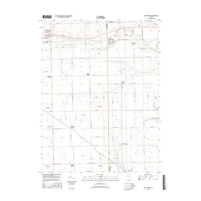
2016 Map of Gettysburg
USGS Topo · Published 2016About this map
Greenville Creek meanders across the northern half of this landscape, anchoring a series of small settlements and family cemeteries along the border of Darke and Miami Counties. Gettysburg sits at the western edge, connected by US Rte 36 and the Old US Rte 36 alignment to Bradford in the north. The area is defined by a dense grid of township and county roads that link smaller community clusters like Circle Hill, Pattytown, and Miller Grove.
Find a feature on this map
137 named features on this map. Tap any name to fly to it.
Don’t see what you’re looking for? This feature index may not catch every label — zoom into the map to look around manually.
Map Details
Editions of this 2016 Gettysburg Map
This is the sole edition of this map. No revisions or reprints were ever made.
Other maps of this area

1905 · Brookville
USGS Topo · 1:62,500

1911 · Covington
USGS Topo · 1:62,500

1944 · Covington
USGS Topo · 1:62,500

1953 · Cincinnati
USGS Topo · 1:250,000

1953 · Muncie
USGS Topo · 1:250,000

1955 · West Milton
USGS Topo · 1:24,000

1956 · Muncie
USGS Topo · 1:250,000

1957 · Cincinnati
USGS Topo · 1:250,000

1961 · Laura
USGS Topo · 1:24,000

1961 · Dawn
USGS Topo · 1:24,000