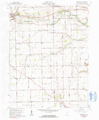
1961 Map of Gettysburg
USGS Topo · Published 1990About this map
Greenville Creek winds through the northern reaches of this rural landscape, carving a valley past the village of Gettysburg. This agricultural region on the border of Darke and Miami counties is defined by a dense grid of farm-to-market roads, including the descriptively named Hogpath Road and Sugar Grove Road. Smaller hamlets and crossroads like Union Corners, Red River, and Muddy Corners anchor the farming community, reflecting the dense 19th-century settlement patterns that persisted into the mid-20th century.
Find a feature on this map
63 named features on this map. Tap any name to fly to it.
Don’t see what you’re looking for? This feature index may not catch every label — zoom into the map to look around manually.
Map Details
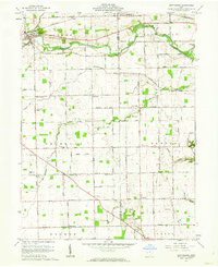
Editions of this 1961 Gettysburg Map
2 editions found
Other maps of this area

1905 · Brookville
USGS Topo · 1:62,500

1911 · Covington
USGS Topo · 1:62,500

1944 · Covington
USGS Topo · 1:62,500

1953 · Cincinnati
USGS Topo · 1:250,000

1953 · Muncie
USGS Topo · 1:250,000

1955 · West Milton
USGS Topo · 1:24,000

1956 · Muncie
USGS Topo · 1:250,000

1957 · Cincinnati
USGS Topo · 1:250,000

1961 · Laura
USGS Topo · 1:24,000

1961 · Dawn
USGS Topo · 1:24,000