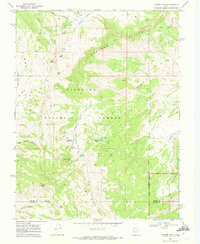
1968 Map of Geyser Peak
USGS Topo · Published 1972About this map
Fishlake National Forest encompasses much of this high-elevation landscape, where the transition from Tidwell Slopes to the Limestone Cliffs reveals a complex network of canyons and high basins. The topography is defined by significant landmarks like Geyser Peak and the Capitol Reef Monument at the southeastern boundary. Water resources were clearly central to land use here in the late 1960s, evidenced by a string of small alpine water bodies including Floating Island Lake, Meeks Lake, and Solomon Reservoir.
Find a feature on this map
37 named features on this map. Tap any name to fly to it.
Don’t see what you’re looking for? This feature index may not catch every label — zoom into the map to look around manually.
Map Details
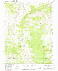
Editions of this 1968 Geyser Peak Map
2 editions found
Other maps of this area

1885 · Fish Lake
USGS Topo · 1:250,000

1896 · Fish Lake
USGS Topo · 1:250,000

1922 · Emery No.3
USGS Topo · 1:31,680

1952 · Notom 2 NW
USGS Topo · 1:24,000

1952 · Notom 2 NE
USGS Topo · 1:24,000

1952 · Torrey
USGS Topo · 1:62,500

1952 · Loa 1 NE
USGS Topo · 1:24,000

1956 · Salina
USGS Topo · 1:250,000

1960 · Salina
USGS Topo · 1:250,000

1962 · Salina
USGS Topo · 1:250,000