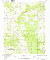
1968 Map of Geyser Peak
USGS Topo · Published 1979About this map
Geyser Peak stands as the topographic centerpiece of this high-elevation wilderness south of Hogan Pass in the late 1960s. The landscape is defined by the massive Limestone Cliffs and the northern reaches of Capitol Reef, where the terrain drops toward Jones Bench. Water sources are critical landmarks in this environment, with numerous high-country basins such as Solomon Basin and Garden Basin hosting essential cattle tanks and natural catchments like Solomon Reservoir, Floating Island Lake, and Meeks Lake. A network of jeep trails provides the only access through Fishlake National Forest, crossing from Tidwell Canyon toward the high ridges. This survey provides a record of land management and water engineering in a region where names like Morrell Pond, Farrell Pond, and Oles Pond mark the long-standing use of the territory by local ranchers.
Find a feature on this map
39 named features on this map. Tap any name to fly to it.
Don’t see what you’re looking for? This feature index may not catch every label — zoom into the map to look around manually.
Map Details
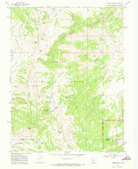
Editions of this 1968 Geyser Peak Map
2 editions found
Other maps of this area

1885 · Fish Lake
USGS Topo · 1:250,000

1896 · Fish Lake
USGS Topo · 1:250,000

1922 · Emery No.3
USGS Topo · 1:31,680

1952 · Notom 2 NW
USGS Topo · 1:24,000

1952 · Notom 2 NE
USGS Topo · 1:24,000

1952 · Torrey
USGS Topo · 1:62,500

1952 · Loa 1 NE
USGS Topo · 1:24,000

1956 · Salina
USGS Topo · 1:250,000

1960 · Salina
USGS Topo · 1:250,000

1962 · Salina
USGS Topo · 1:250,000