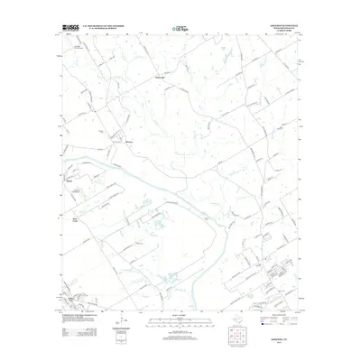
2012 Map of Gholson
USGS Topo · Published 2012About this map
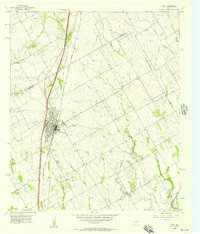
The Brazos River snakes through this McLennan County landscape, carving a route past established rural communities like Gholson and Patrick. The terrain is defined by a network of drainage branches and creeks, including Aquilla Cr, Rock Cr, and Wortham Br, which feed into the main river channel. This 2012 survey illustrates the transition of the land into private airfields and small homesteads, with Tigerbird Field Airport and Womack Farm Airport serving the area. Genealogists will find a wealth of burial sites preserved across the map, from the Gholson Cem near the town center to the Chalk Bluff Cem and Crump Cem further afield. These sites, along with landmarks like Rogers Hill, provide a detailed look at the historical geography of north Waco, showing how family names like Giles Br and McKenzie Br are literally etched into the waterways of the region.
Find a feature on this map
131 named features on this map. Tap any name to fly to it.
Don’t see what you’re looking for? This feature index may not catch every label — zoom into the map to look around manually.
Map Details
Editions of this 2012 Gholson Map
This is the sole edition of this map. No revisions or reprints were ever made.
Other maps of this area
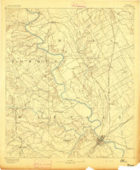
1892 · Waco
USGS Topo · 1:125,000
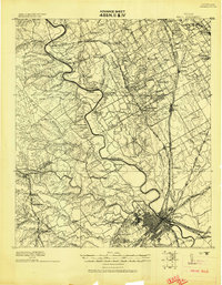
1920 · Waco
USGS Topo · 1:125,000
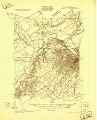
1924 · Waco 4-c
USGS Topo · 1:48,000
1924 · Waco 3-d
USGS Topo · 1:48,000
1931 · Whitney
USGS Topo · 1:62,500
1931 · Valley Mills
USGS Topo · 1:62,500
1931 · Elm Mott
USGS Topo · 1:62,500

1954 · Waco
USGS Topo · 1:250,000

1955 · Waco
USGS Topo · 1:250,000
1956 · West
USGS Topo · 1:24,000