
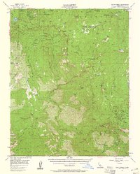
1956 Map of Giant Forest
USGS Topo · Published 1958About this map
Sequoia National Park and Kings Canyon National Park converge in this mid-century survey, which identifies the protected groves of Sierra Redwoods. The landscape is defined by the winding Generals Highway connecting vital infrastructure like the Big Stump Entrance Station and the Colony Mill Ranger Station. This era shows a well-established recreational and scientific presence in the high Sierra, from the Whitaker Forest research station to the Crystal Spring Campground.
Find a feature on this map
128 named features on this map. Tap any name to fly to it.
Don’t see what you’re looking for? This feature index may not catch every label — zoom into the map to look around manually.
Map Details
Editions of this 1956 Giant Forest Map
4 editions found
Other maps of this area

1903 · Tehipite
USGS Topo · 1:125,000

1904 · Kaweah
USGS Topo · 1:125,000

1905 · Tehipite
USGS Topo · 1:125,000

1909 · Kaweah
USGS Topo · 1:125,000

1922 · Trimmer
USGS Topo · 1:96,000

1924 · Dinuba
USGS Topo · 1:125,000

1928 · Lemon Cove
USGS Topo · 1:31,680

1937 · Kaweah
USGS Topo · 1:125,000

1942 · Dunlap
USGS Topo · 1:62,500

1944 · Dunlap
USGS Topo · 1:62,500