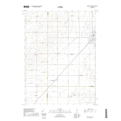
2018 Map of Gibson City West
USGS Topo · Published 2018About this map
Gibson City anchors the northeastern corner of this agricultural landscape, where the transition from Ford County into McLean and Champaign counties is marked by a strict grid of section lines and rural roads. The western reaches of the city extend toward the Drummer Township Cem, while the surrounding prairie is dotted with smaller locales such as Derby, Proctor, and Harpster. These settlements reflect the traditional rail-and-road hierarchy of the Illinois plains, linked by a network of named routes like N 4000 East Rd and E 1300 North Rd.
Find a feature on this map
67 named features on this map. Tap any name to fly to it.
Don’t see what you’re looking for? This feature index may not catch every label — zoom into the map to look around manually.
Map Details
Editions of this 2018 Gibson City West Map
This is the sole edition of this map. No revisions or reprints were ever made.
Other maps of this area
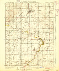
1928 · Gibson City
USGS Topo · 1:62,500
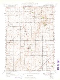
1947 · Sibley
USGS Topo · 1:62,500
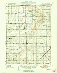
1949 · Sibley
USGS Topo · 1:62,500
1952 · Arrowsmith
USGS Topo · 1:62,500
1957 · Gibson City
USGS Topo · 1:62,500
1957 · Colfax
USGS Topo · 1:62,500
1958 · Peoria
USGS Topo · 1:250,000
1961 · Peoria
USGS Topo · 1:250,000
1963 · Peoria
USGS Topo · 1:250,000
1982 · Gibson City West
USGS Topo · 1:24,000