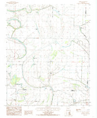
1984 Map of Gieseck
USGS Topo · Published 1985About this map
The St Francis River and its complex network of oxbow lakes and bayous define this part of the Arkansas Delta in the mid-1980s. The landscape is a testament to the hydraulic engineering of the region, featuring intricate drainage systems like Blackfish Ditch No 1 and Little Blackfish Bayou alongside natural remnants such as Prophet Lake, Shaver Lake, and Walnut Timber Lake. Small agricultural settlements and community hubs are scattered throughout, including the corporate limits of Parkin, the map's namesake Gieseck, and the hamlets of Gladden and Midway.
Find a feature on this map
32 named features on this map. Tap any name to fly to it.
Don’t see what you’re looking for? This feature index may not catch every label — zoom into the map to look around manually.
Map Details
Editions of this 1984 Gieseck Map
2 editions found
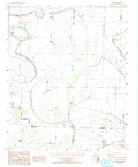
Other maps of this area

1939 · Edmondson
USGS Topo · 1:62,500

1940 · Deckerville
USGS Topo · 1:62,500

1940 · Princedale
USGS Topo · 1:62,500

1940 · Whitmore
USGS Topo · 1:62,500

1953 · Memphis
USGS Topo · 1:250,000

1954 · Edmondson
USGS Topo · 1:62,500

1956 · Memphis
USGS Topo · 1:250,000

1956 · Whitmore
USGS Topo · 1:62,500

1956 · Princedale
USGS Topo · 1:62,500

1957 · Deckerville
USGS Topo · 1:62,500