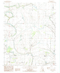
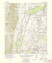
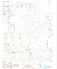
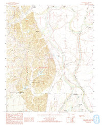
1984 Map of Gieseck
USGS Topo · Published 1985This historical map portrays the area of Gieseck in 1984, primarily covering Cross County as well as portions of Crittenden County and St. Francis County. Featuring a scale of 1:24000, this map provides a highly detailed snapshot of the terrain, roads, buildings, counties, and historical landmarks in the Gieseck region at the time. Published in 1985, it is one of 2 known editions of this map due to revisions or reprints.
Find a feature on this map
32 named features on this map. Tap any name to fly to it.
Don’t see what you’re looking for? This feature index may not catch every label — zoom into the map to look around manually.
Map Details
Editions of this 1984 Gieseck Map
2 editions found
Historical Maps of Duvall Through Time
12 maps found
1940 Princedale
Cross County, AR
1956 Princedale
Cross County, AR
1962 Princedale
Cross County, AR
1966 Princedale
Cross County, AR
1984 Central
Cross County, AR
1984 Cherry Valley East
Cross County, AR
1984 Cherry Valley West
Cross County, AR
1984 Gieseck
Cross County, AR
1984 Hamlin
Cross County, AR
1984 Monterey
Cross County, AR
1984 Princedale
Cross County, AR
1984 Wittsburg
Cross County, AR