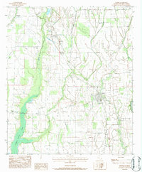
1983 Map of Gilbert
USGS Topo · Published 1984About this map
Gilbert and the surrounding Franklin Parish landscape are defined by a complex network of waterways and the Missouri Pacific railroad corridor. The area displays a distinct rural settlement pattern centered on small communities like Chase and Jigger, supported by a dense concentration of local institutions. This includes the La State Univ Research Center and numerous community centers of worship such as Union Grove Ch, Sweet Home Ch, and Mt Olive Ch.
Find a feature on this map
32 named features on this map. Tap any name to fly to it.
Don’t see what you’re looking for? This feature index may not catch every label — zoom into the map to look around manually.
Map Details
Editions of this 1983 Gilbert Map
This is the sole edition of this map. No revisions or reprints were ever made.
Other maps of this area

1935 · Winnsboro
USGS Topo · 1:62,500

1939 · Fort Necessity
USGS Topo · 1:62,500

1941 · Sicily Island
USGS Topo · 1:62,500

1941 · Harrisonburg
USGS Topo · 1:62,500

1953 · Natchez
USGS Topo · 1:250,000

1955 · Jackson
USGS Topo · 1:250,000

1956 · Natchez
USGS Topo · 1:250,000

1957 · Sicily Island
USGS Topo · 1:62,500

1958 · Winnsboro
USGS Topo · 1:62,500

1958 · Fort Necessity
USGS Topo · 1:62,500