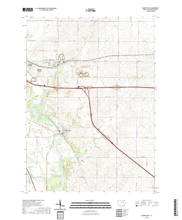
2022 Map of Gilbertville
USGS Topo · Published 2022About this map
The Cedar River flows through this corner of Black Hawk County, defining the corridor where modern infrastructure meets the agricultural heartland. The river valley is paralleled by the Cedar Valley Nature Trl, providing a recreational artery through the landscape near Gilbertville. To the north, the town of Raymond and the eastern edge of Evansdale show the suburban expansion from the Waterloo area, while the surrounding townships maintain a strict grid of section roads like Osage Rd and Independence Ave.
Find a feature on this map
66 named features on this map. Tap any name to fly to it.
Don’t see what you’re looking for? This feature index may not catch every label — zoom into the map to look around manually.
Map Details
Editions of this 2022 Gilbertville Map
This is the sole edition of this map. No revisions or reprints were ever made.
Other maps of this area

1954 · Waterloo
USGS Topo · 1:250,000

1955 · Waterloo
USGS Topo · 1:250,000

1963 · Waterloo South
USGS Topo · 1:24,000

1963 · Eagle Center
USGS Topo · 1:24,000

1963 · Waterloo North
USGS Topo · 1:24,000

1971 · Gilbertville
USGS Topo · 1:24,000

1971 · La Porte City
USGS Topo · 1:24,000
1971 · Brandon
USGS Topo · 1:24,000

1971 · Dunkerton
USGS Topo · 1:24,000

1971 · Littleton
USGS Topo · 1:24,000