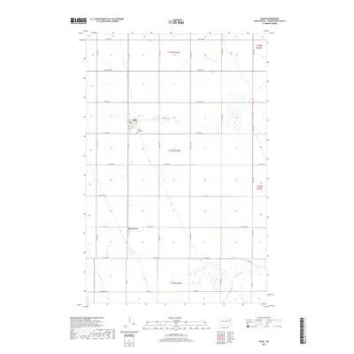
2017 Map of Gilby
USGS Topo · Published 2017About this map
Gilby serves as the primary hub in this portion of Grand Forks County, situated along a grid of section roads that define the region's agricultural character. The town is flanked to the south by the Prairie Home Cem, while further south, the smaller settlement of Honeyford sits near the junction of Co Rd 2 and Co Rd 14. The landscape is characterized by the meandering path of the Turtle River, which breaks the geometric precision of the township and range lines as it flows through the southeastern quadrant. This 2017 survey by the U.S. Geological Survey captures the enduring rural structure of the Red River Valley, where modern county roads like Co Rd 11 follow long-established survey lines to connect isolated farmsteads and small communities.
Find a feature on this map
29 named features on this map. Tap any name to fly to it.
Don’t see what you’re looking for? This feature index may not catch every label — zoom into the map to look around manually.
Map Details
Editions of this 2017 Gilby Map
This is the sole edition of this map. No revisions or reprints were ever made.
Other maps of this area

1926 · Ardoch
USGS Topo · 1:62,500

1934 · Emerado
USGS Topo · 1:48,000

1936 · Emerado
USGS Topo · 1:62,500

1936 · Larimore
USGS Topo · 1:62,500

1952 · Grand Forks
USGS Topo · 1:250,000

1952 · Thief River Falls
USGS Topo · 1:250,000

1956 · Thief River Falls
USGS Topo · 1:250,000

1956 · Grand Forks
USGS Topo · 1:250,000

1957 · Thief River Falls
USGS Topo · 1:250,000

1963 · Larimore East
USGS Topo · 1:24,000