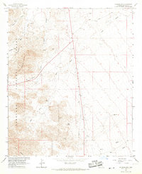
1966 Map of Gillespie Mtn.
USGS Topo · Published 1967About this map
Coronado National Forest dominates the western landscape of this mid-1960s survey, rising sharply toward the prominent peak of Gillespie Mtn. The rugged topography is defined by deep drainage systems including Righthand Canyon and Dutch Henry Wash, which carve through the high country. Human activity is sparse and centered on cattle ranching and early utility infrastructure, represented by the P Ranch and a prominent Pipeline cutting across the desert flats. Genealogy and local history researchers can identify family-named landmarks such as Baker and Van Gausig situated near Oak Draw. The map details a transition from the mountainous timberlands of the national forest to the arid basins where Owl Wash and various Water Tanks signify the critical importance of water management in the Graham County ranching economy.
Find a feature on this map
20 named features on this map. Tap any name to fly to it.
Don’t see what you’re looking for? This feature index may not catch every label — zoom into the map to look around manually.
Map Details
Editions of this 1966 Gillespie Mtn. Map
2 editions found
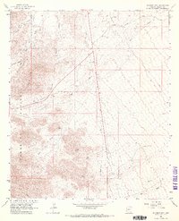
Other maps of this area

1922 · Willcox
USGS Topo · 1:125,000

1942 · Mt. Graham
USGS Topo · 1:62,500

1943 · Willcox
USGS Topo · 1:62,500

1944 · Fisher Hills
USGS Topo · 1:62,500

1945 · Mt. Graham
USGS Topo · 1:62,500

1954 · Silver City
USGS Topo · 1:250,000

1957 · Luzena
USGS Topo · 1:62,500

1958 · Silver City
USGS Topo · 1:250,000

1958 · Willcox
USGS Topo · 1:62,500

1962 · Silver City
USGS Topo · 1:250,000