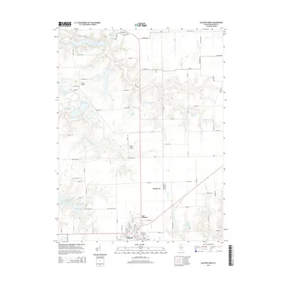
2015 Map of Gillespie North
USGS Topo · Published 2015About this map
Gillespie and East Gillespie anchor the southern edge of this Macoupin County landscape, where the street grid of the former gives way to the open agricultural fields and winding creek beds of central Illinois. The area is defined by a series of water management features and recreational reservoirs, most notably Lake Carlinville and Lake Williamson in the north, and the twin basins of Old Gillespie Lake and New Gillespie Lake to the west. These bodies of water follow the natural drainage of Honey Cr and Spanish-Needle Cr, creating a contrast between the geometric township roads and the sinuous riparian corridors.
Find a feature on this map
61 named features on this map. Tap any name to fly to it.
Don’t see what you’re looking for? This feature index may not catch every label — zoom into the map to look around manually.
Map Details
Editions of this 2015 Gillespie North Map
This is the sole edition of this map. No revisions or reprints were ever made.
Other maps of this area

1912 · Gillespie
USGS Topo · 1:62,500

1915 · Gillespie
USGS Topo · 1:62,500

1915 · Mount Olive
USGS Topo · 1:62,500

1923 · Carlinville
USGS Topo · 1:48,000

1923 · Raymond
USGS Topo · 1:62,500

1925 · Carlinville
USGS Topo · 1:62,500

1925 · Raymond
USGS Topo · 1:62,500

1931 · Carlinville
USGS Topo · 1:62,500

1944 · Mount Olive
USGS Topo · 1:62,500

1958 · Decatur
USGS Topo · 1:250,000