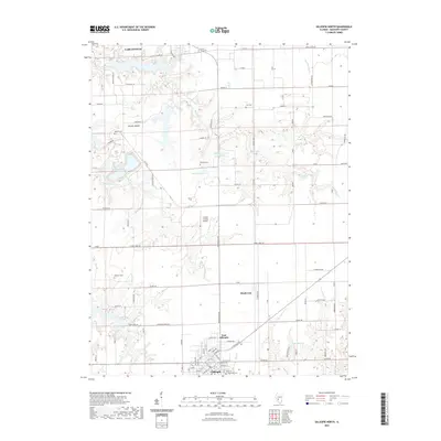
2021 Map of Gillespie North
USGS Topo · Published 2021About this map
Brushy Mound rises above the rural landscape of southern Illinois, providing a central landmark between the city of Carlinville to the north and the cluster of East Gillespie and Gillespie to the south. This corridor is defined by a series of small water bodies and drainage systems, including Spanish Needle Cr and Sugar Cr, which have shaped the local topography and placement of roads like Brushy Mound Rd.
Find a feature on this map
95 named features on this map. Tap any name to fly to it.
Don’t see what you’re looking for? This feature index may not catch every label — zoom into the map to look around manually.
Map Details
Editions of this 2021 Gillespie North Map
This is the sole edition of this map. No revisions or reprints were ever made.
Other maps of this area

1912 · Gillespie
USGS Topo · 1:62,500

1915 · Gillespie
USGS Topo · 1:62,500

1915 · Mount Olive
USGS Topo · 1:62,500

1923 · Carlinville
USGS Topo · 1:48,000

1923 · Raymond
USGS Topo · 1:62,500

1925 · Carlinville
USGS Topo · 1:62,500

1925 · Raymond
USGS Topo · 1:62,500

1931 · Carlinville
USGS Topo · 1:62,500

1944 · Mount Olive
USGS Topo · 1:62,500

1958 · Decatur
USGS Topo · 1:250,000